
 2
2


 10
10


 10
10


[Selections]Popular sightseeing spots around Okayama Prefecture
「climbing」Sightseeing spots around Okayama Prefecture

Ushiroyama, the highest peak in Okayama Prefecture
It is a climbing course that climbs Mt. Funaki from the Ushiroyama Campsite to the summit of Mt. Th...
 3
3- [+]岡山県美作市
 29
29
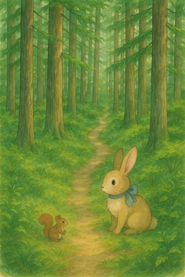
Nishiawakura Village Wakasugi Natural Forest
Wakasugi Natural Forest is located in the northernmost part of the village, in a special protected a...
 5
5- [+]岡山県英田郡
- 25

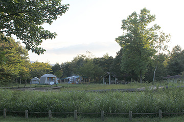
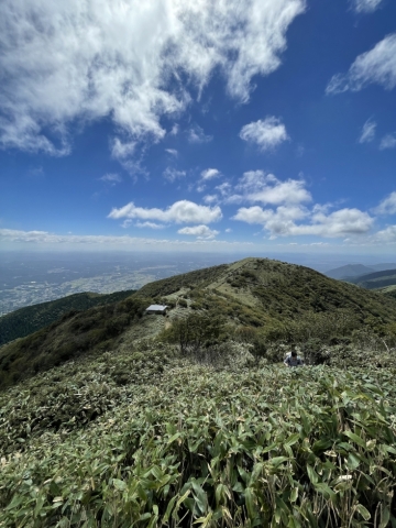
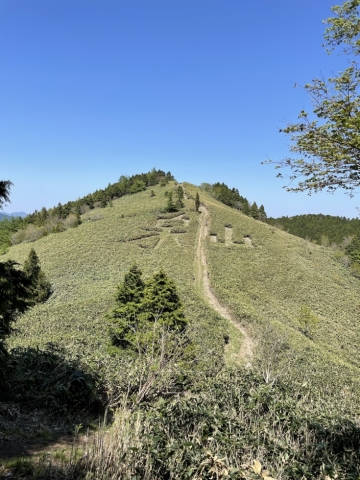
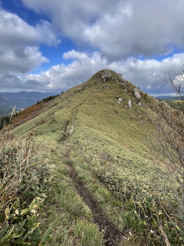
Hinakurayama (Okayama Prefecture)
Near the top of the mountain, a vast pampas grass grassland spreads out, and the view is outstanding...
- 7
- [+]岡山県美作市
- 21
Mount Nagi
It is a popular mountain there are many people who answer and the Mount Nagi ask your favorite mount...
 22
22- [+]岡山県勝田郡
 63
63

Hyonosen
Mount Hyonosen, which stands on the border between Hyogo and Tottori prefectures, is the highest pea...
- 29
- [+]鳥取県八頭郡
 45
45
Mt. Yukihiko in chains
Mount Seppiko, located in Himeji City, Hyogo Prefecture, is a sacred mountain that is counted among ...
 39
39- [+]兵庫県姫路市
- 25
Climbing Imizuyama and Izumiyama in Kagamino Town
There are two courses to climb: one from the Daishingu Hara Izumiyama trailhead or the Kasagaya Pass...
- 43
- [+]岡山県苫田郡
- 28
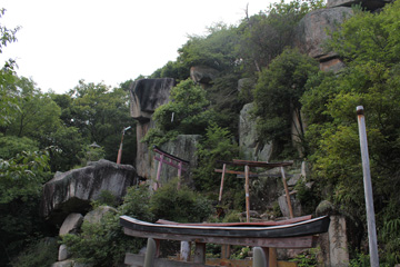
"Mt. Sangajo Hiking in Kagamino Town
Since ancient times, this sacred mountain has been the focus of mountain worship. Stone statues of E...
 51
51- [+]岡山県苫田郡
- 48
Takashimizu Trail
Starting from Ningyo Pass, the approximately 8-8.7km long trail passes through Takashimizu Plateau, ...
- 57
- [+]岡山県苫田郡
- 38
Kannabe Plateau and Mt. Kannabe
The Kannabe Plateau is a vast plateau formed by the lava flow of Mt. Kannabe, which erupted about 25...
- 60
- [+]兵庫県豊岡市
- 45
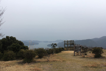
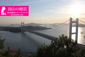
Yudachi Ukeyama Observatory
From the upper parking lot, climb the mountain for about 15 minutes. There is a promenade about 30 ...
- 61
- [+]岡山県備前市
- 26

The Alps of Okayama Prefecture! Wake Alps
As its name suggests, the Wake Alps are named after the landscape of a series of small mountains tha...
- 62
- [+]岡山県和気郡
- 55